Project Overview
Township land-survey work covering approximately 1,400 acres.
Involved in planimetric and detail surveys, boundary pegging, setting-out, as-built measurements, survey data processing and technical drawing preparation.
Approx. 1,400 Acres
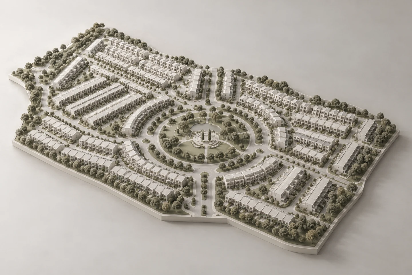
Township land-survey work covering approximately 1,400 acres.
Involved in planimetric and detail surveys, boundary pegging, setting-out, as-built measurements, survey data processing and technical drawing preparation.