Nicholas GohGEOMATICS & GEOSPATIAL
All Projects
Township Development

Lagenda Puncak Warisan — Kulai

Kulai, Johor · Approx. 1,000+ Acres

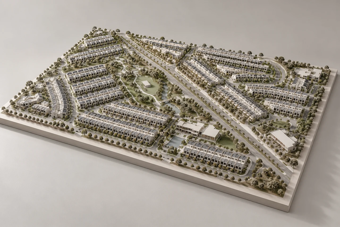
Township Development — conceptual architectural model illustration
Designed Concept Visual · Illustrative, Not A Photograph Of This Development

Project Overview

Township survey work across approximately 1,000+ acres, including endorsed pre-computation and block-pegging / perimeter survey stages.

Involved in planimetric surveys, detail surveys and boundary pegging for two phases, as well as field data collection and plan preparation. The scope included on-site measurements, checking and field implementation.

Enquire About This Project
Explore The Project Drawings8 Drawings · Original Project Documentation
NEXT PROJECT

Parkland — Bandar Layangkasa